
 In order to determine the possibility of water abstraction from the surface water body to meet the needs of the enterprise, as well as the design conditions of the water body to calculate the standards of maximum permissible discharges, we offer engineering surveys for hydrological calculation for water bodies.
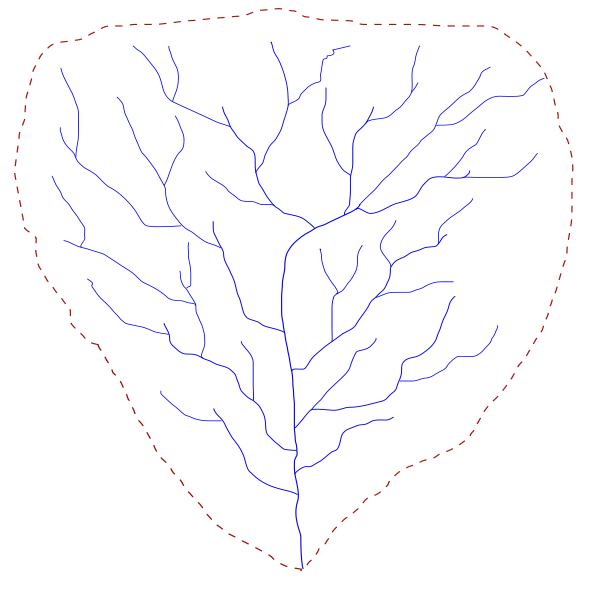
Hydrological calculations include information on the structure of the hydrographic network of the basin, catchment areas of water bodies and their sections, length of water bodies and their sections, area of water bodies, tortuosity coefficients of water bodies and their sections, depth and width of water bodies, roughness coefficients of the bed and the lower surface of the ice, types of water use of water bodies or their sections, water quality standards, MPC, location of sites (points) of water quality observations on the hydrographic network, flow rate, river water flow, volumes (levels) of water and hydrological regime of water bodies.
Determination of calculated hydrological characteristics is performed on homogeneous hydrological series and is based on data of hydrometeorological observations published in official documents in the field of hydrology, as well as on observational data in the archives of specialized enterprises, surveying, design and other organizations, including unpublished data observations during the last years.
When determining the calculated hydrological characteristics, depending on the availability of hydrological data, the following calculation methods are used:
- in the presence of data of hydrological observations – directly according to these data;
- in case of insufficiency of data of hydrometric observations – by bringing them to a long-term period according to the data of analogue rivers with longer series of observations;
- in the absence of data of hydrometric observations – according to formulas with the use of data from analogous rivers or using interpolation, which is based on a set of observational data of the entire network of hydrometric stations and points in this area.